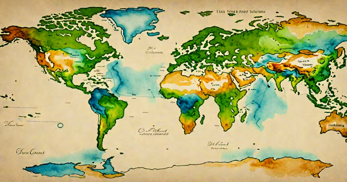
There are seven continents in the world: Africa, Antarctica, Asia, Europe, North America, South America, and Australia. These landmasses are distinct regions of Earth's surface separated by large bodies of water and recognized by international geographic standards.
Continents form the largest stable land areas on Earth. They are not rigid geological plates but are composed of crustal material that moves slowly over time due to mantle convection. The boundaries between continents are defined by convention rather than strict physical lines. For example, the boundary between Europe and Asia is traditionally drawn along the Ural Mountains, the Ural River, and the Caspian Sea-though geologically, the region is part of a single tectonic plate.
The concept of continents evolved from ancient Greek ideas of landmasses divided by seas. Modern classification was formalized in the 19th century and standardized by organizations such as the United Nations and the International Cartographic Association. Today, the seven-continent model is taught in schools worldwide and used in maps, atlases, and geographic databases.
Geographers define continents based on a combination of physical features, cultural recognition, and historical usage. A continent is typically a large, continuous landmass surrounded by water, with distinct topography and drainage patterns. However, size alone doesn't determine continental status-Antarctica is the fifth-largest continent by area but ranks second in size behind Asia.
Scientifically, continents are underlain by continental crust, which is thicker and less dense than oceanic crust. This difference allows continents to "float" higher on the mantle. The average thickness of continental crust is about 35 kilometers, compared to 5-10 km for oceanic crust. This explains why continents remain above sea level while ocean basins fill with water.
Despite this, some regions challenge the traditional model. For example, the Indian subcontinent is geologically part of the Indo-Australian Plate but is culturally and historically treated as a distinct landmass. Similarly, the term "Eurasia" is sometimes used to describe Europe and Asia as a single continent, especially in European and Asian academic traditions. But even in those systems, the seven-continent model remains dominant in global education and cartography.
There are two primary models for classifying continents: the seven-continent model and the six-continent model. The seven-continent model separates Europe and Asia, treating them as distinct continents. The six-continent model combines them into Eurasia, reducing the count to six. Other models exist-such as the five-continent system used in some Latin American curricula-but none have gained widespread international acceptance.
| Model | Continents | Common Usage |
|---|---|---|
| Seven-Continent | Africa, Antarctica, Asia, Europe, North America, South America, Australia | Standard in U.S., UK, and UN educational materials |
| Six-Continent | Africa, Antarctica, Eurasia, North America, South America, Australia | Used in parts of Europe and Asia; common in Russian and Chinese textbooks |
| Five-Continent | Africa, Americas (combined), Eurasia, Australia, Antarctica | Rare; mostly seen in simplified children's maps |
According to the National Geographic Society, the seven-continent model is the most accurate representation of Earth's landmass distribution for educational and scientific purposes. The organization states that separating Europe and Asia reflects both cultural and geographical distinctions, even though they share a continuous landmass.
One non-obvious fact: Australia is the smallest continent by area-about 7.7 million square kilometers-but it is still classified as a continent because it sits on its own tectonic plate, the Indo-Australian Plate. This contrasts with islands like Madagascar or Greenland, which are large but not tectonically independent and thus do not qualify as continents.
Continents shape human history, climate, biodiversity, and geopolitics. Africa hosts the longest river (the Nile, 6,650 km), the highest mountain (Mount Kilimanjaro, 5,895 m), and the largest desert (the Sahara, 9.2 million km²). Antarctica contains 70% of Earth's fresh water locked in ice sheets and is governed by the Antarctic Treaty System, which prohibits military activity and mineral mining.
Asia covers 44.5 million km²-the largest land area-and is home to over 60% of the world's population. It includes the Himalayas, the tallest mountain range, and the Ganges-Brahmaputra basin, one of the most densely populated river valleys on Earth. The continent's diversity in terrain, culture, and economy makes it central to global trade and migration patterns.
North America spans 24.7 million km² and includes the Great Lakes, the Rocky Mountains, and the Mississippi River system. Its climate varies from Arctic tundra in Alaska to tropical rainforests in Central America. The continent's economic influence is reflected in the GDP of countries like the United States ($26 trillion in 2023), Canada ($2.2 trillion), and Mexico ($1.7 trillion).
South America, at 17.8 million km², holds the Amazon Rainforest-the largest tropical forest on Earth-and the Andes, the longest mountain range. The continent's biodiversity is unmatched: it contains 10% of known species despite covering only 12% of Earth's land surface.
Many people assume that continents are permanent features. In reality, they move. The Atlantic Ocean is widening by about 2.5 cm per year due to seafloor spreading at the Mid-Atlantic Ridge. Over millions of years, this movement will reshape continents. In 250 million years, geologists predict a new supercontinent called Pangaea Proxima may form.
Another misconception is that all continents are entirely land. Antarctica is covered by a thick ice sheet averaging 1.9 km in thickness. Beneath the ice, much of the continent lies below sea level. If all the ice melted, Antarctica would shrink dramatically and become fragmented into smaller landmasses.
Some confuse continents with countries or regions. For example, "Europe" is not a country-it is a continent that includes 44 sovereign nations and several dependencies. Similarly, "Australia" refers to the continent, not just the country. The island of New Guinea is part of the Australian continent but belongs politically to Indonesia and Papua New Guinea.
During a field trip to the Galápagos Islands in 2019, I observed how volcanic activity shapes new land. The islands sit on the Nazca Plate, where tectonic forces push magma upward. Though small, they represent the early stages of continental formation-a process that takes tens of millions of years to build a full continent.